Petroscan is able to capture any information presented on a map, shotpoints, geological data, cultural data etc., and export in a variety of industry standard digital formats.
- Scanning of hard copy maps to image format.
- Geo referencing of scanned maps.
- Digitisation of shotpoint basemaps to create navigation data.
- Digitisation of geological/geophysical data and cultural data.
- Determination of unknown Co-ordinate Reference System, and CRS conversion.
- Conversion of hard copy to a large variety of industry standard digital formats.
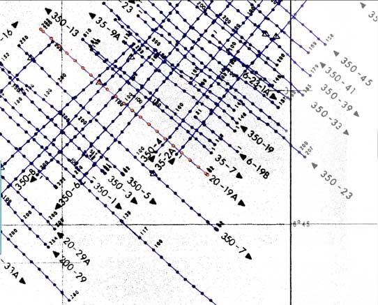
Hard copy or scanned image maps converted to a variety of industry
standard digital formats
Assess the quality of our service for yourself
Please contact us for more information or a free trial.